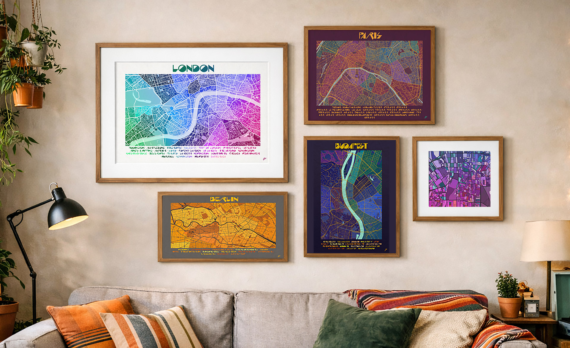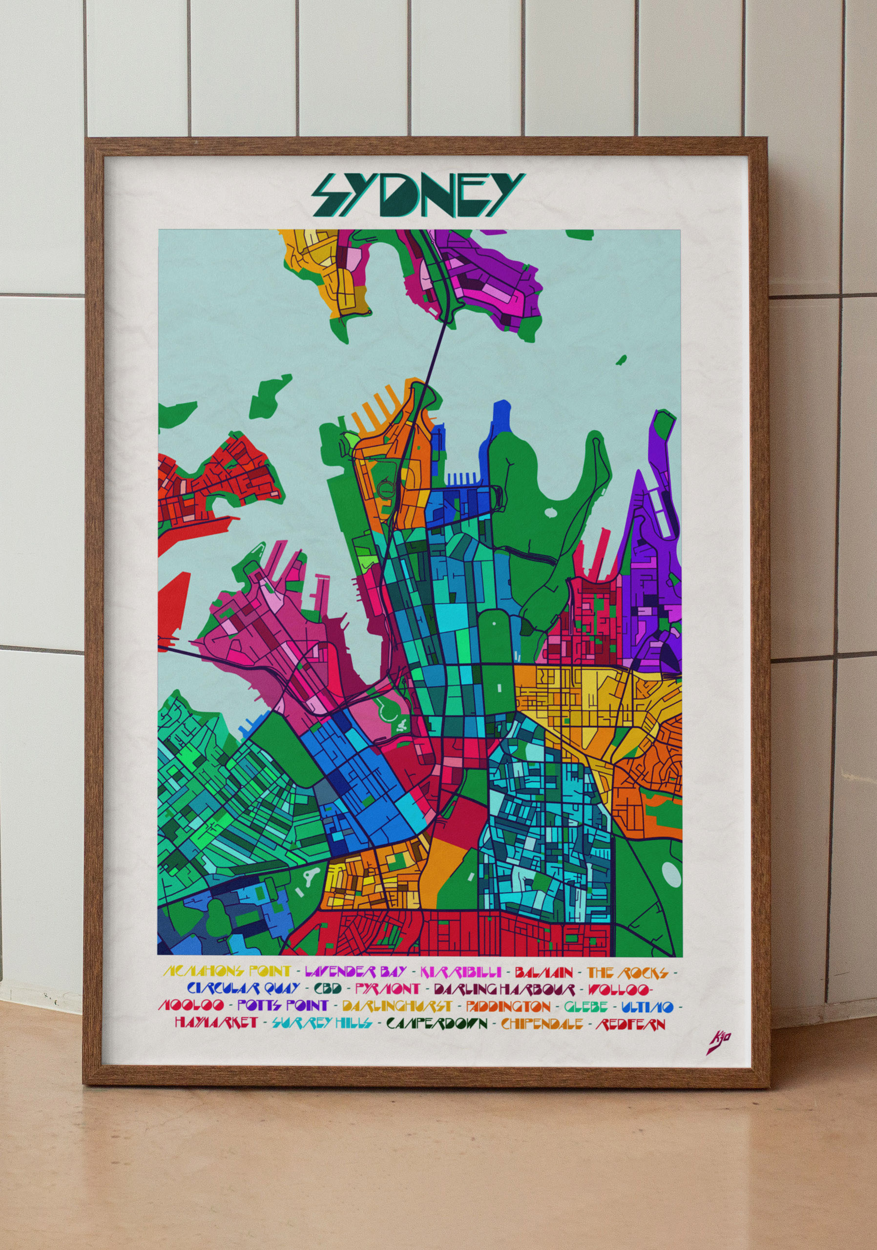
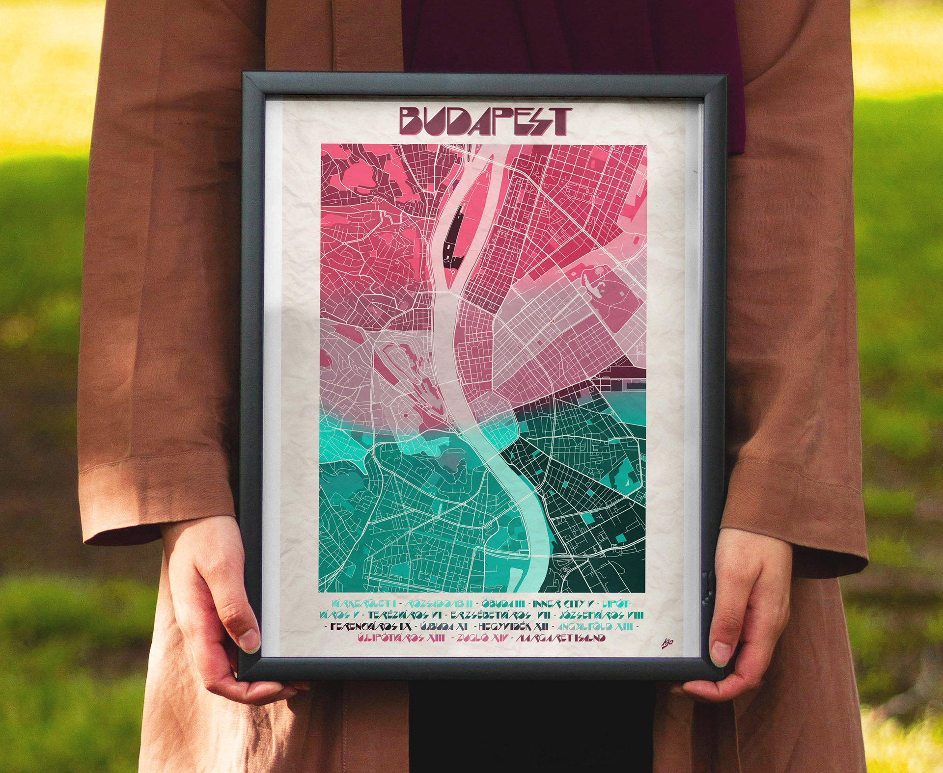
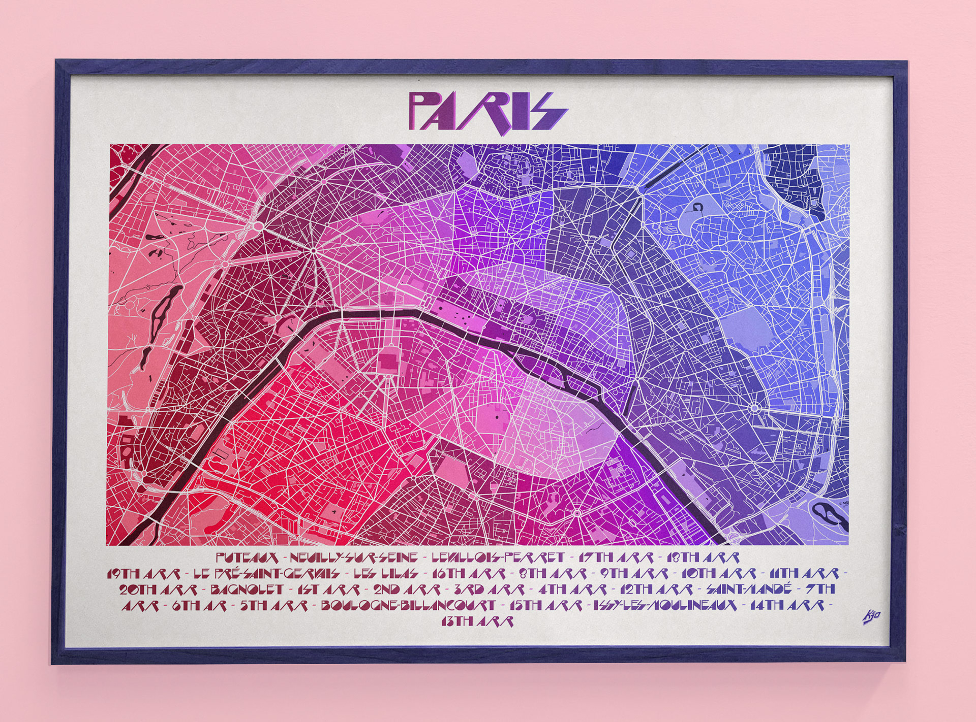
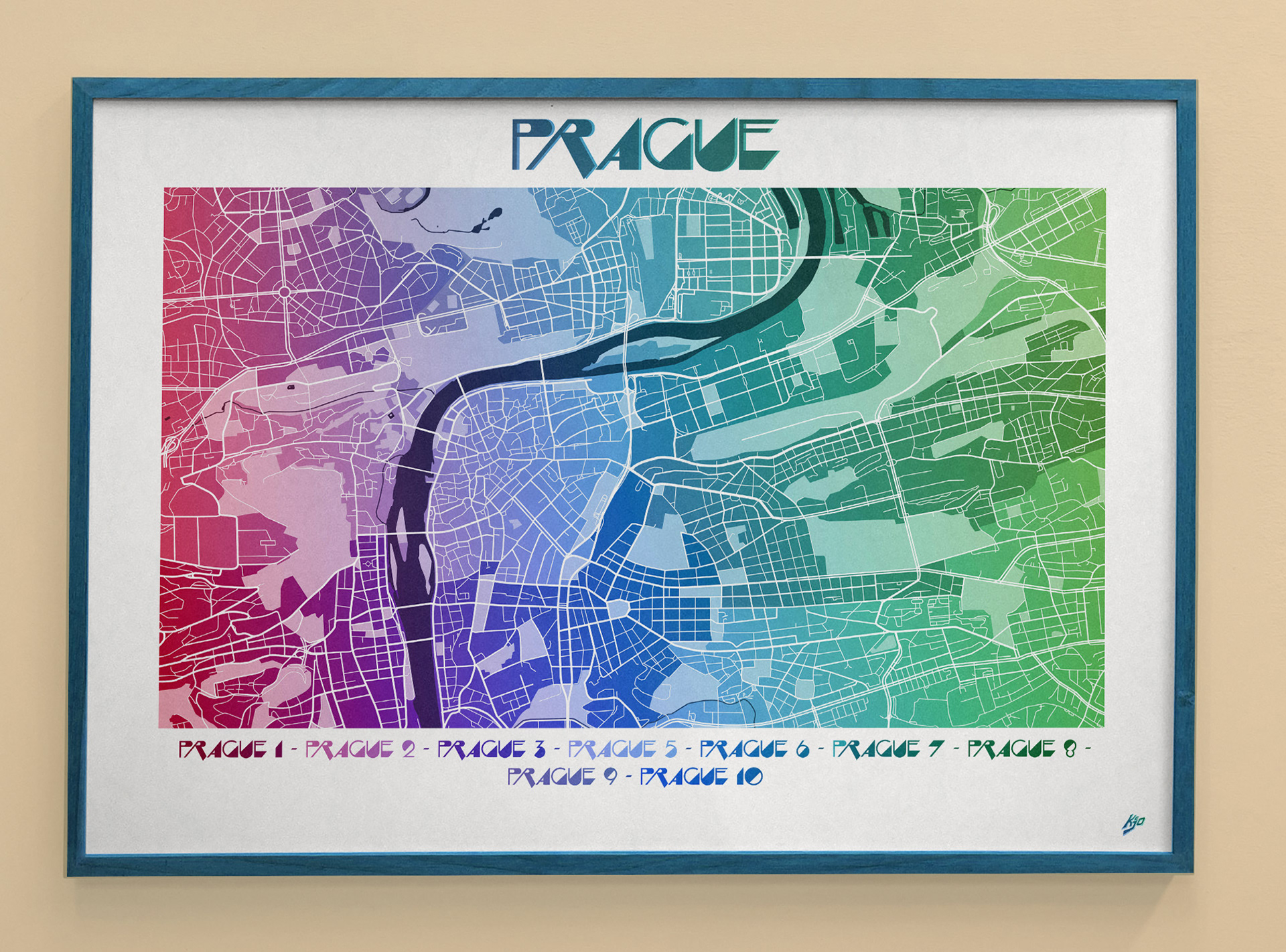
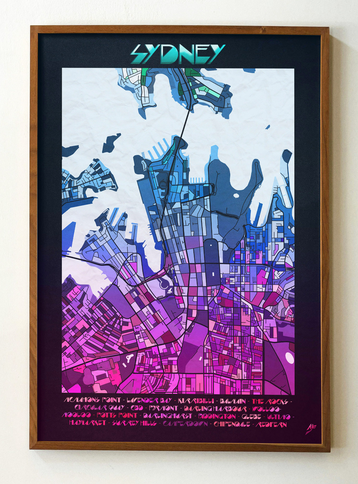
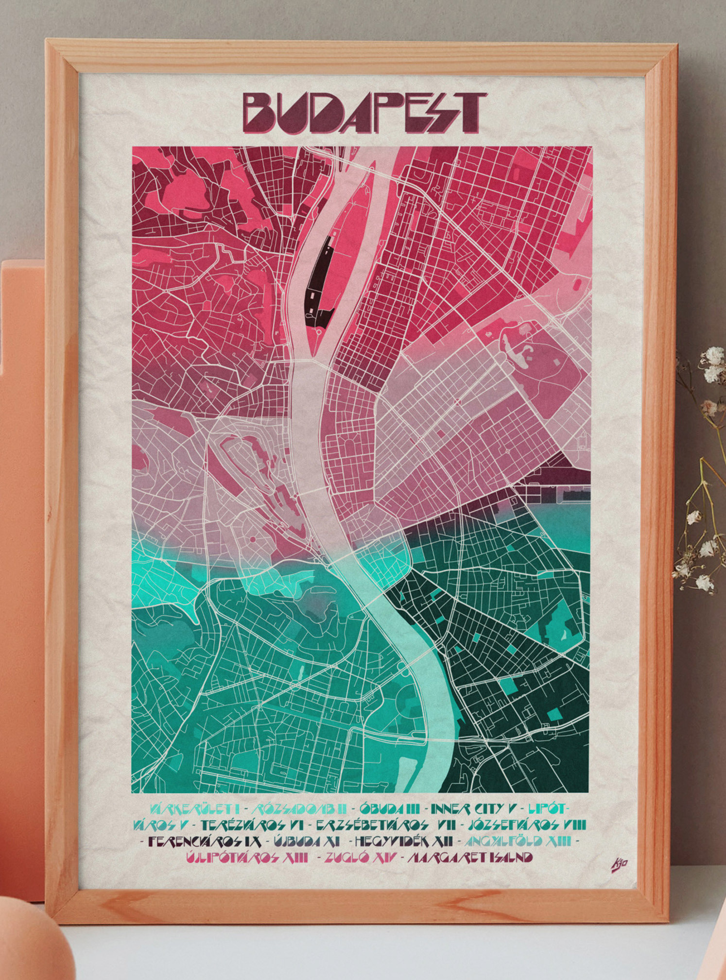
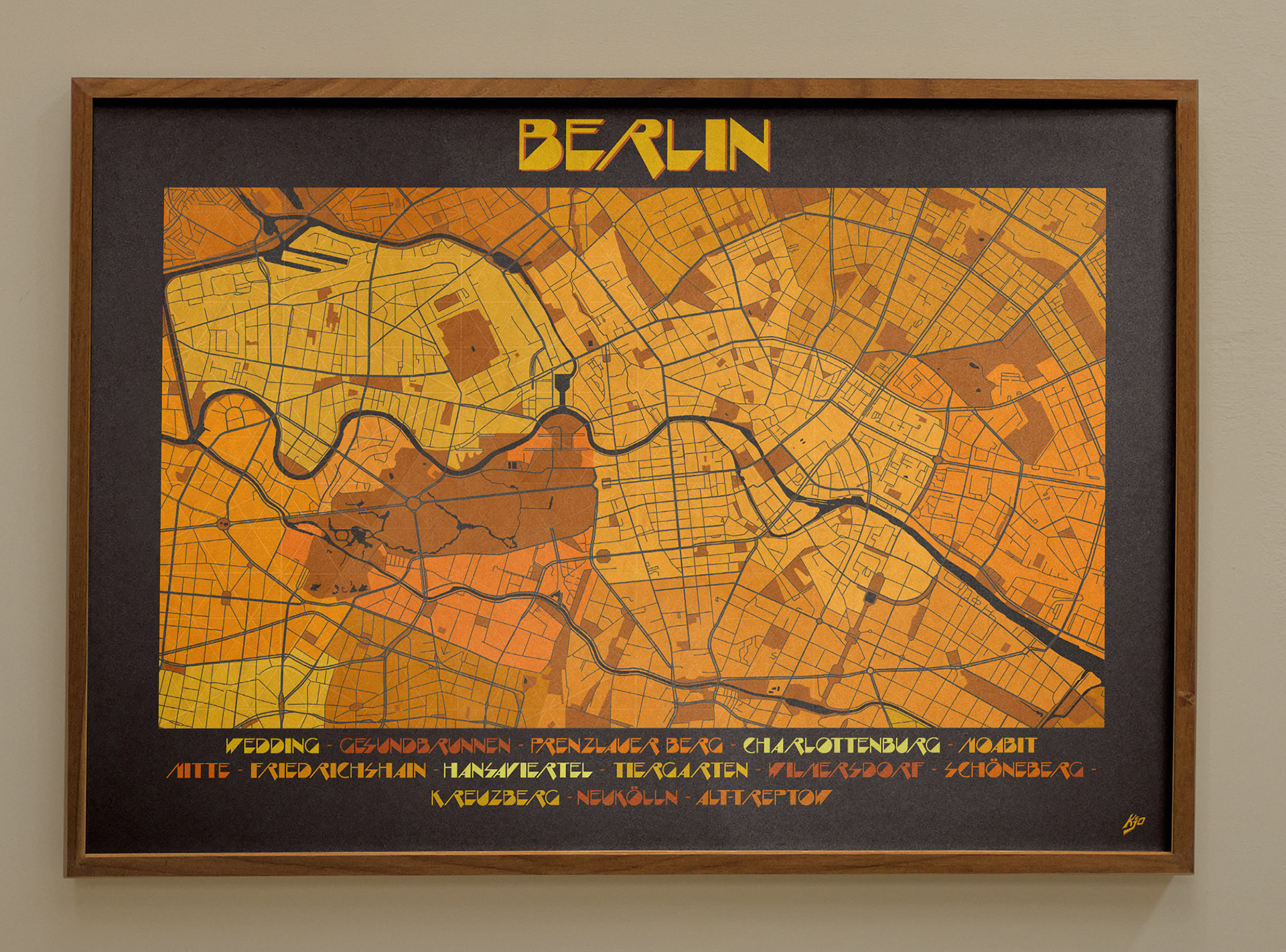
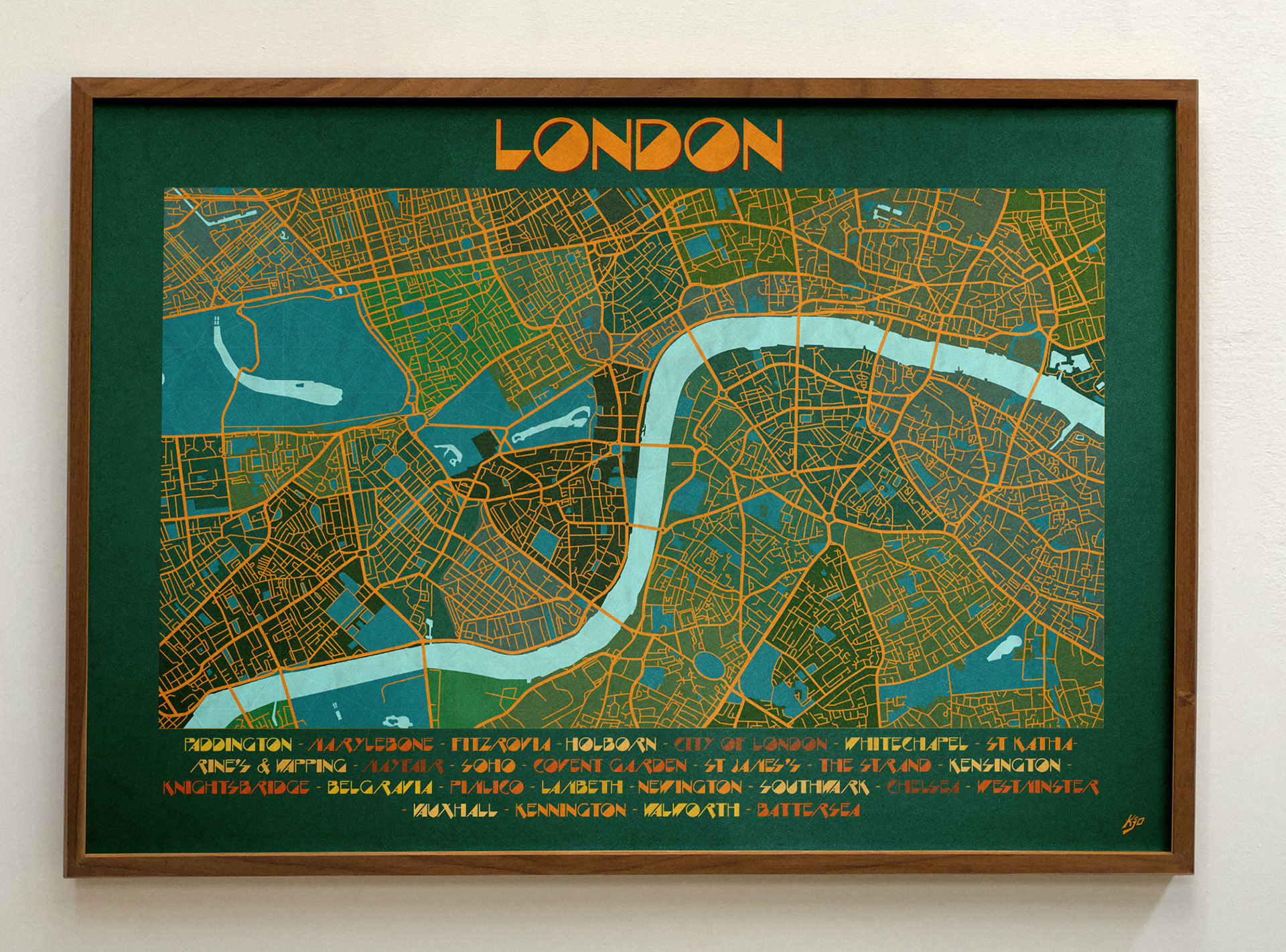
In Print
The aim was to create prints that people could connect with — capturing the memories, experiences, and personal stories we associate with cities around the world.
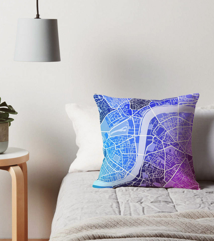
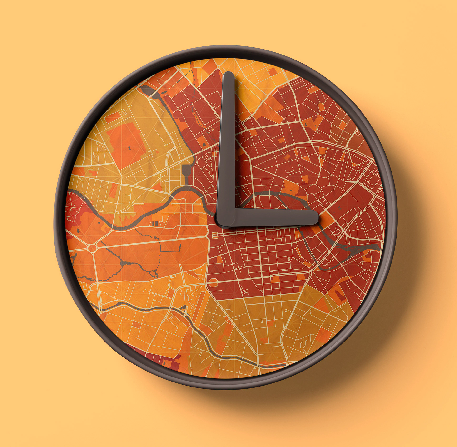
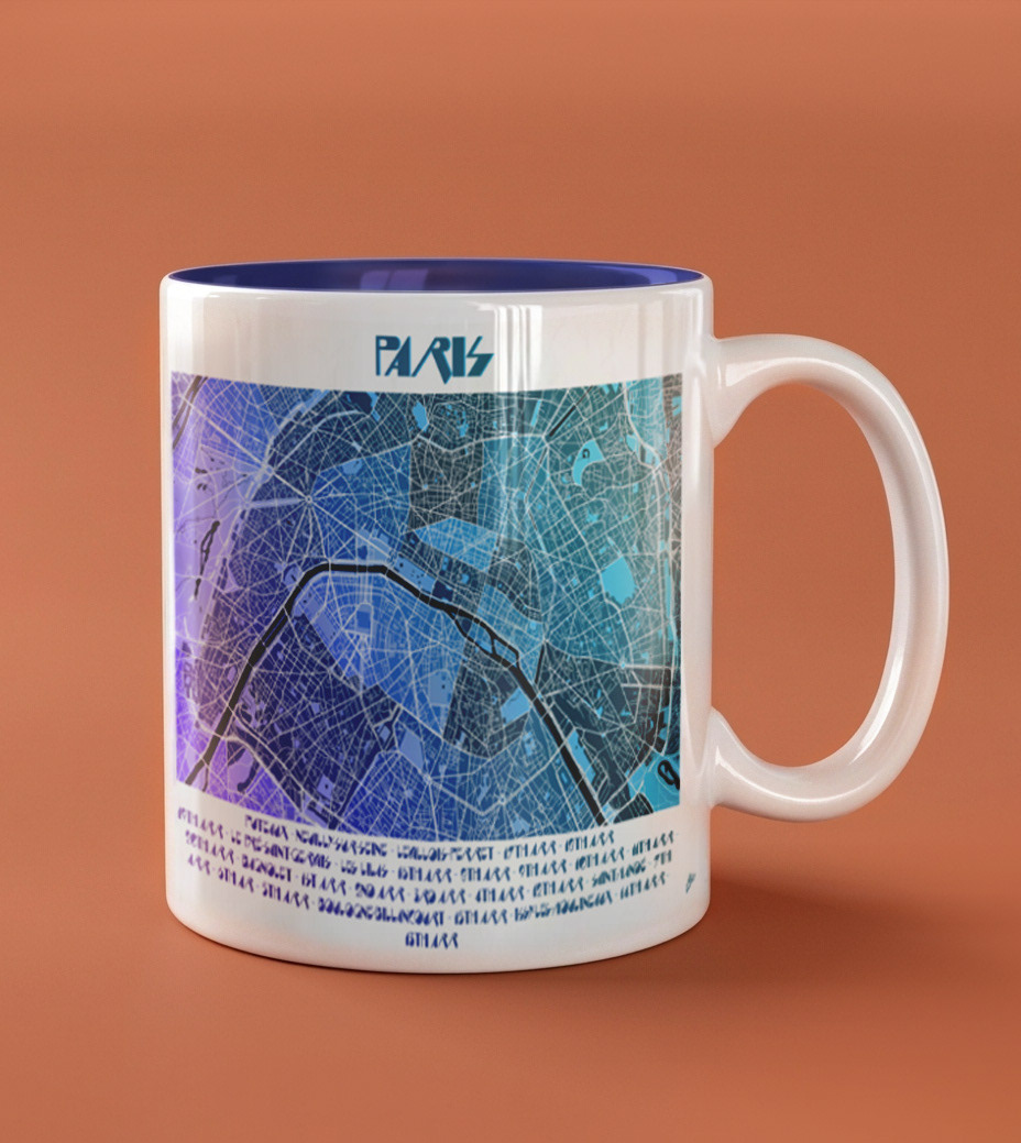
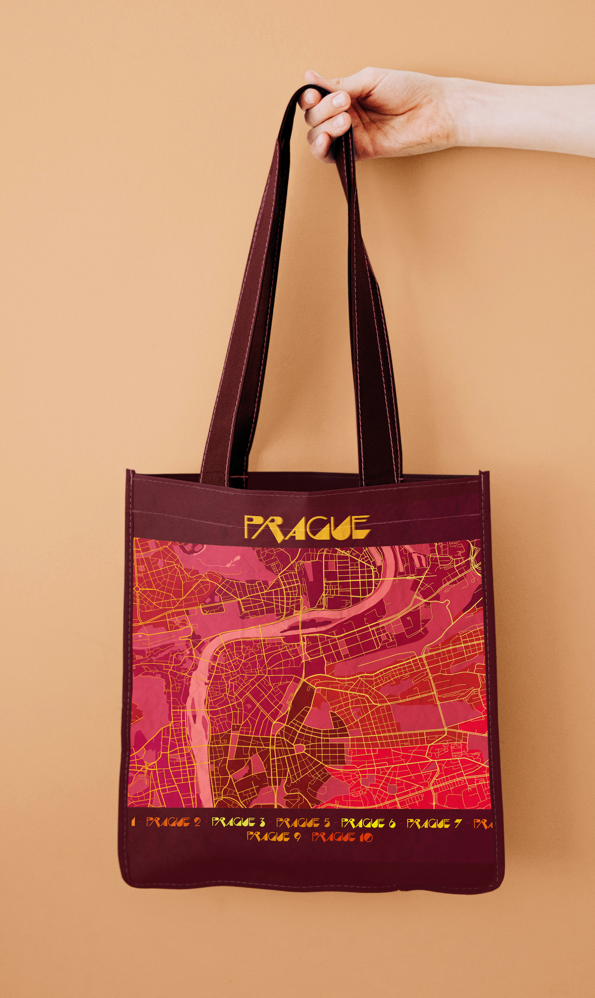
In Application
The map designs were also developed for use across products and apparel, extending the series beyond print and into wearable and lifestyle pieces for my online shop.

Map Development
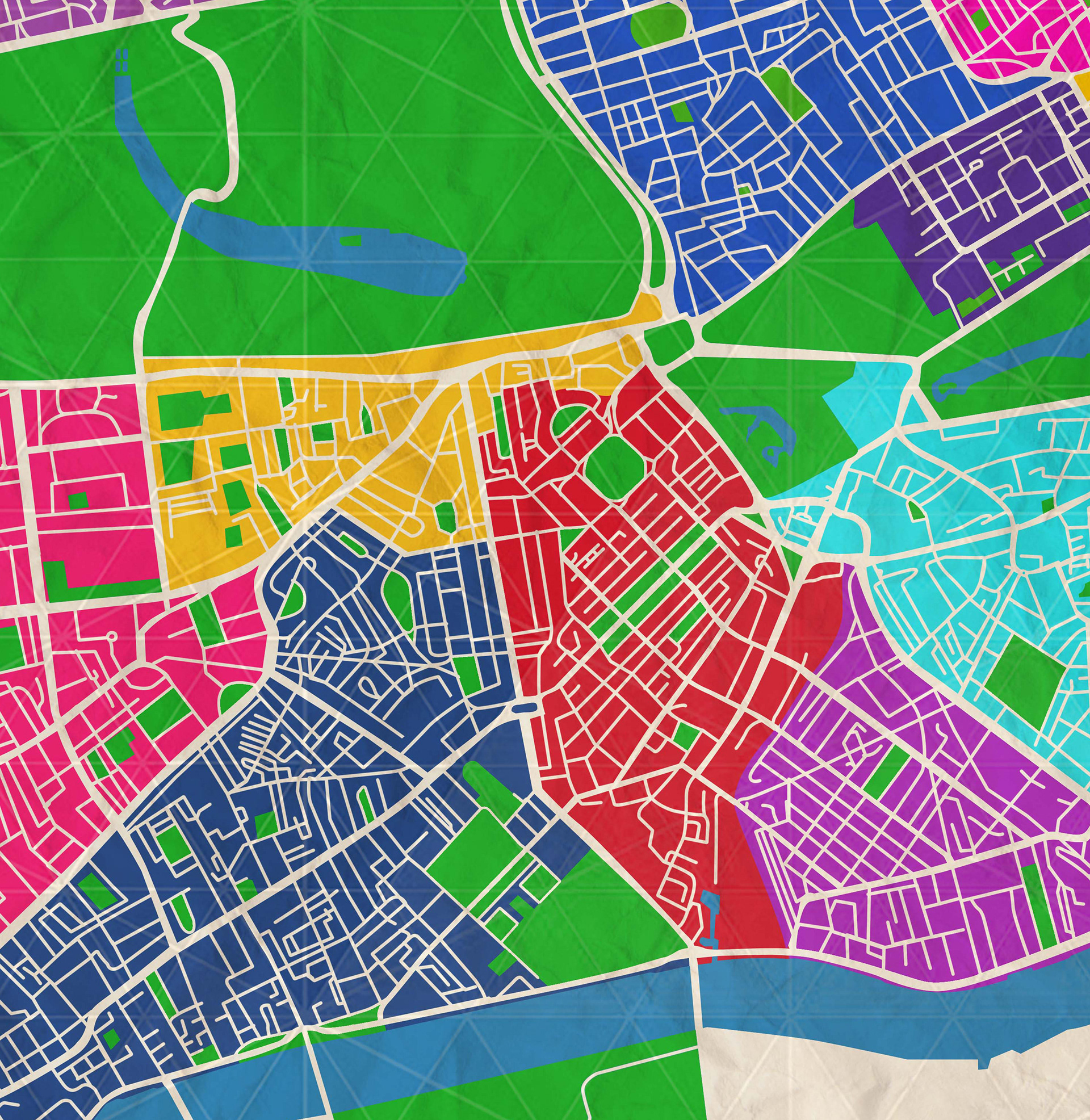
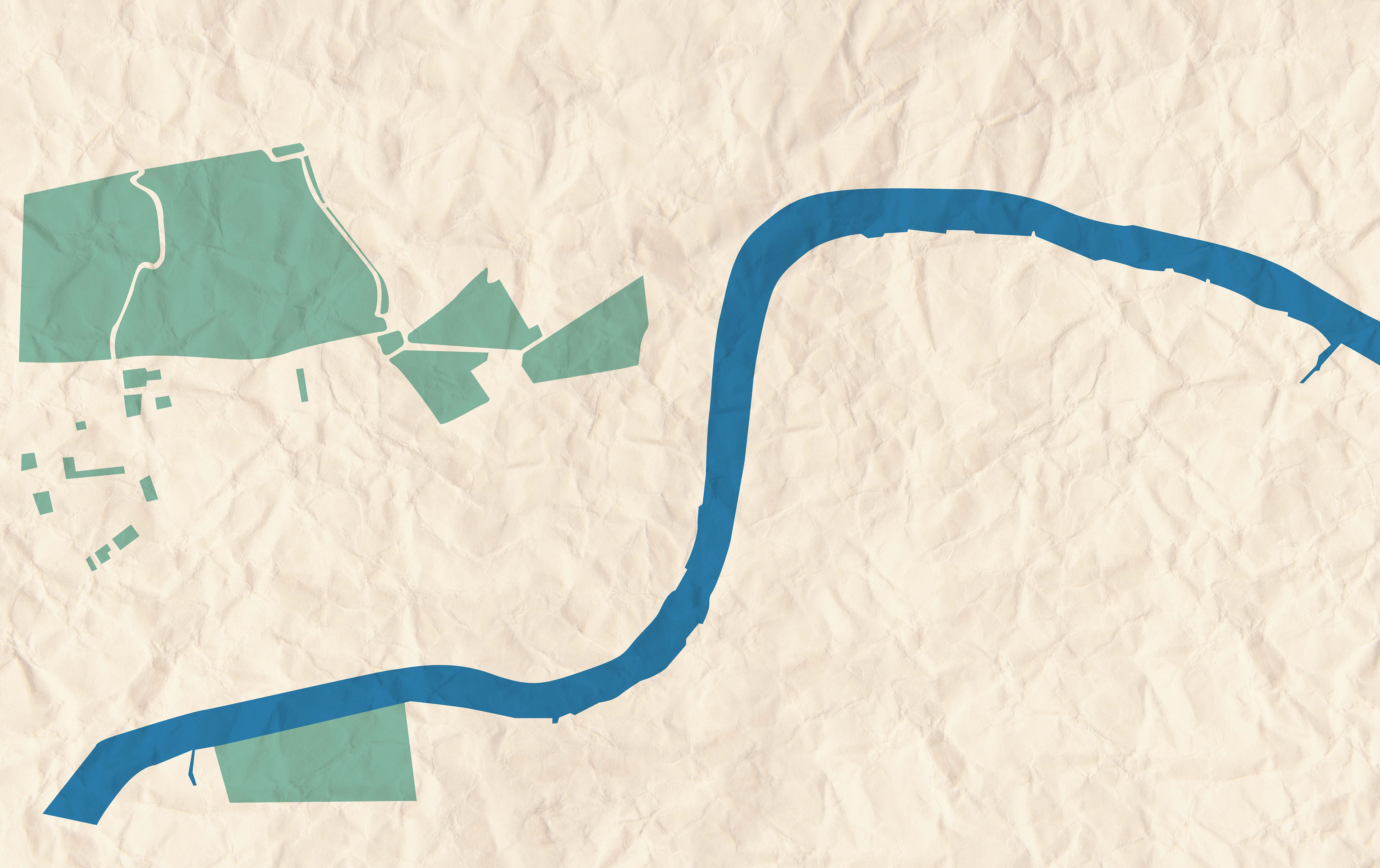
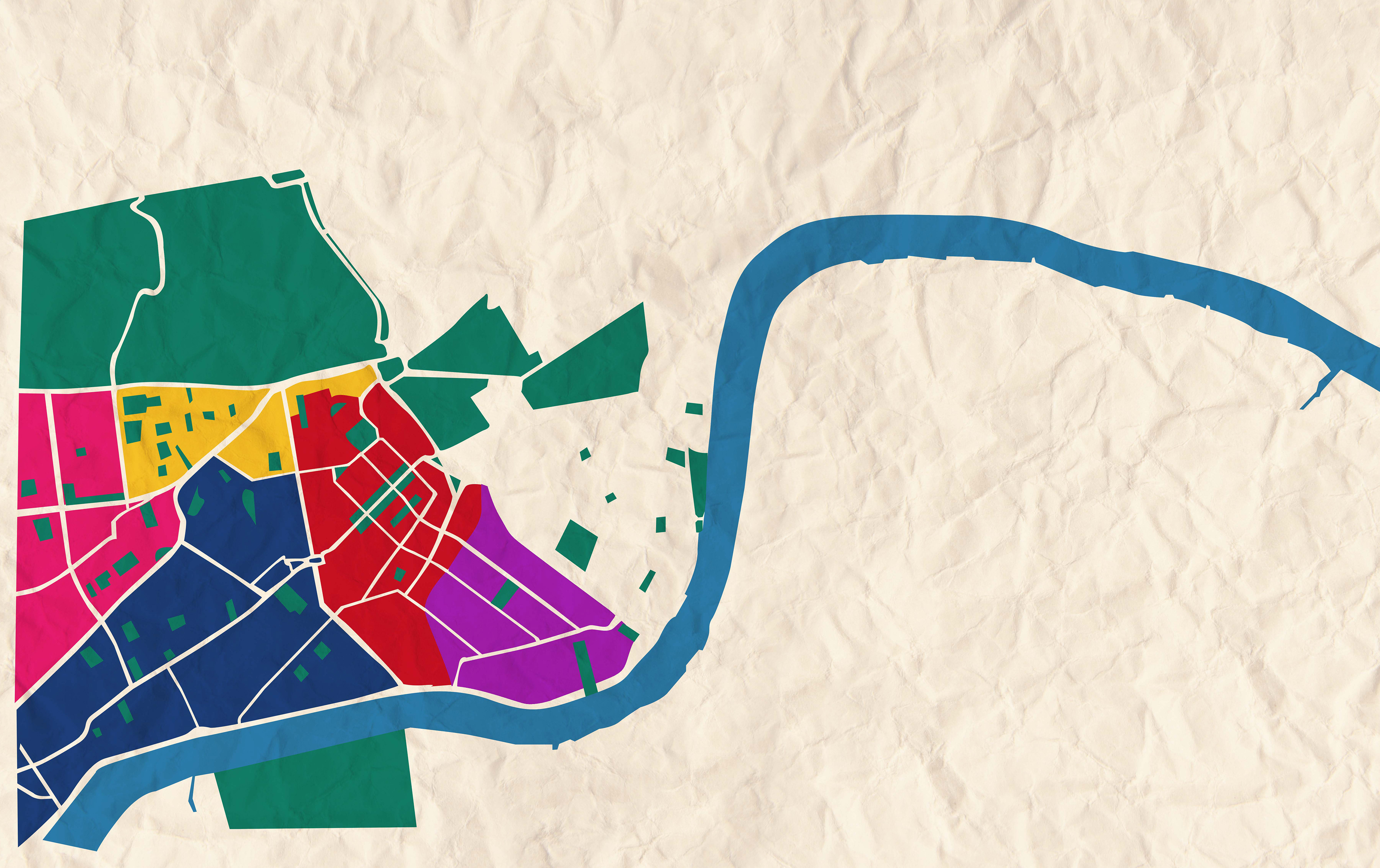
This gallery outlines the development of the London map, from initial reference build using Google Maps for Key city elements that were traced and structured using varied line weights to establish visual hierarchy.
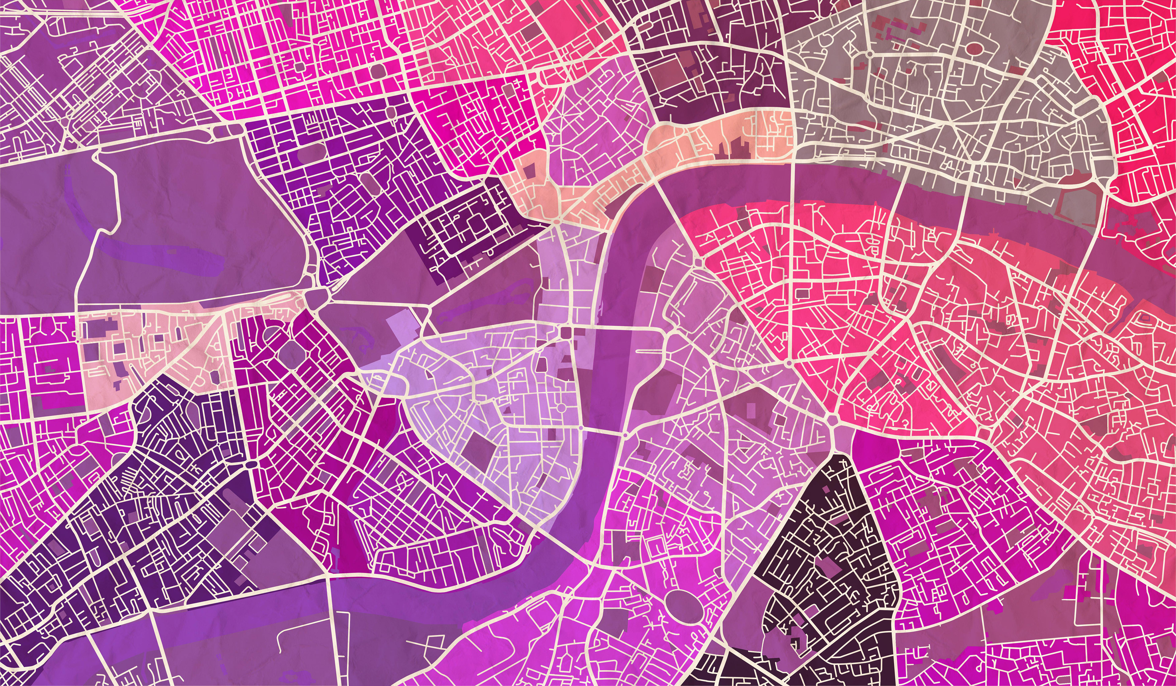
Districts were developed in separate layers to allow flexible colour exploration, followed by palette refinement and typographic integration to achieve a balanced, cohesive final piece.

Final Thoughts
This project allowed me to deepen my Photoshop skills while combining my love of travel and urban design. I enjoyed exploring how to interpret city layouts artistically and translate geographical structure into visually engaging compositions. It also taught me how to balance accuracy with aesthetics — creating maps that are both informative and beautifully designed.